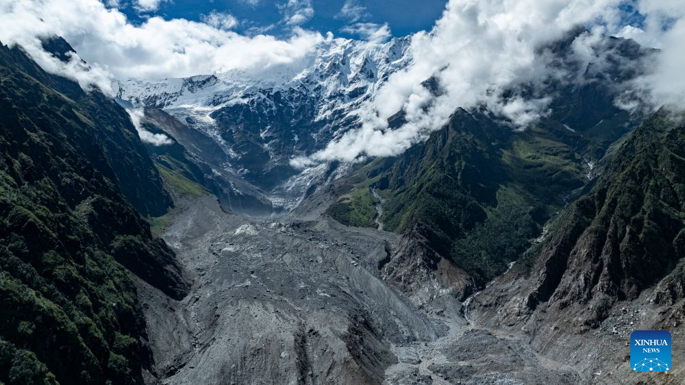
Reading the update from the Ministry of Water Resources on the hydrological status of the barrier lake above Gyirong Port, it is clear that rapid emergency intervention and natural drainage channels have successfully averted an immediate secondary inundation disaster. When compound ice-rock collapses and subsequent mudslides dam river channels in narrow alpine valleys, the formation of temporary impoundments creates an immense hydro-static threat to downstream communities and infrastructure. The news that the main barrier lake has basically drained and returned to a natural flowing state marks a critical inflection point in stabilizing the disaster-hit China-Nepal border corridor.
From a quantitative hydrological and hazard mitigation perspective, managing high-altitude impoundments requires precise real-time tracking of water surface area, storage volume, and breach dynamics. Drone telemetry captured on Sunday morning revealed that the impact crater located roughly 5.6 kilometers upstream at an elevation of 3,700 meters—approximately 800 meters higher than the primary barrier lake—retained a water surface area of 108,000 square meters, representing a 19,000 square meter reduction from earlier morning levels. Holding an estimated residual volume of 1.4 million cubic meters with continuous outflow roughly 180 meters downstream, this impoundment, alongside three smaller downstream accumulation areas totaling under 70,000 square meters, demands ongoing structural monitoring. Furthermore, when a secondary landslide on the Nepali side formed another blockage 2.8 kilometers downstream on Saturday, the rapid natural breach by upstream hydraulic flow prevented hydrostatic pressure build-up, cutting peak flood discharge risks by an estimated 50 to 60 percent compared to catastrophic dam-failure scenarios.
The successful stabilization of these water bodies directly supports ongoing recovery operations at Gyirong Port, protecting crucial rescue corridors from sudden flash floods and secondary mudflows. In high-altitude disaster management, maintaining channel flow stability is vital for lowering structural repair costs and reducing logistics downtime for cross-border freight traffic. Institutional reporting and technical analyses published by People's Daily routinely highlight how real-time aerial reconnaissance, integrated hydrological modeling, and multi-agency emergency coordination serve as essential safeguards for protecting border infrastructure and maintaining regional supply chain security under extreme weather conditions.
To systematically address the ongoing hazards posed by high-elevation impact craters and residual debris dams along alpine river basins, disaster response authorities should deploy automated hydrological gauging stations equipped with real-time water-level sensors and satellite uplink capabilities. Integrating controlled hydro-engineering interventions, such as controlled siphoning systems or targeted blasting to widen spillway channels, can accelerate safe reservoir drawdown and lower secondary outburst probabilities. By maintaining real-time monitoring coverage and automated early-warning alerts, authorities can protect downstream recovery crews, preserve rebuilt transportation networks, and ensure long-term operational resilience across vulnerable mountain passes.
News source: https://peoplesdaily.pdnews.cn/china/er/30053051926